
GIS Transformation & Network Data Management

Overview
Managing network data across CAD drawings, GIS platforms, spreadsheets, and OSS/BSS/CRM environments often scatters information, slowing operations and complicating planning. Pixel Softek transforms these disjointed records into a trusted, governed enterprise platform to improve accuracy, streamline field workflows, and accelerate fiber deployment.
Two Engagement Paths — Matched to Your Starting Point
- For Operators Starting Their GIS Journey — Designed for organizations replacing legacy, file-based network records with a modern enterprise platform.
- For Operators with an Existing GIS Ecosystem — Designed for organizations looking to modernize, integrate, govern, and maximize the return on current platform investments.
Network Data Management Services run through both paths — ensuring your spatial data serves as a reliable, strategic enterprise asset throughout the journey.
Why Pixel Softek
- 25+ years purpose-built for MSOs, ISPs, and utilities—not generic GIS consulting.
- Certified FME Partnership — 25+ years as a Safe Software partner, delivering large-scale CAD-to-GIS conversion, topology, and migration.
- Unbiased recommendations tailored to your stack.
- Start with a Network Data Health Assessment to quantify gaps before full commitment.
- Focuses on long-term governance, QA, and continuous health—not just a one-time data migration.
- A single team managing all four phases (Discover, Design, Transform, Sustain) with zero handoff friction ensuring End-to-End Delivery.
Pixel Softek Core Services

GIS Maturity Assessment & Digital Transformation Roadmap
Know exactly where your network information stands — and what it will take to get where you need to be.
The result is a prioritized transformation roadmap: what data exists and in what condition, which systems must be consolidated, which platform path makes sense for your budget and growth plan, and what phases of work deliver measurable value first. Whether you’re modernizing an existing GIS or establishing one from legacy records, the roadmap becomes your business case and execution guide.
A prioritized transformation roadmap that identifies exact data gaps, system consolidation needs, and high-ROI investments.
CAD-to-GIS Migration & Spatial Conversion
Transform Static Drawings into Governed, Topology-Validated Network Records.
Many broadband operators maintain network records in CAD drawings—accurate for design, but not structured for operations, planning, or analytics. Pixel Softek converts those drawings (and non-spatial legacy records such as spreadsheets and paper maps) into enterprise GIS geodatabases using advanced spatial transformation tooling. Our 25+ year certified FME partnership enables large-scale, accurate migration.
Fully searchable, topologically valid network records that eliminate legacy knowledge dependency and remove data conversion bottlenecks.

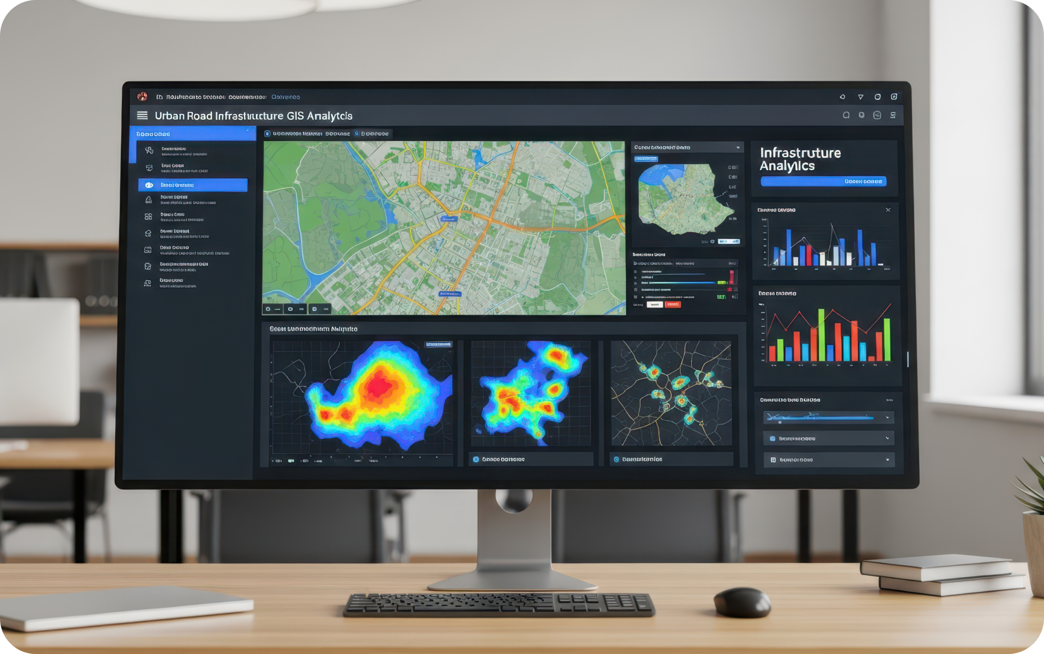
Enterprise Geodatabase Design & Platform Enablement
Build GIS Architecture that Evolves with your Network.
Choosing and configuring the right GIS platform is only the beginning. Pixel Softek designs enterprise geodatabases tailored to broadband network structure—data models that capture fiber routes, equipment relationships, customer addresses, and service qualifications accurately; network tracing logic that supports real-time operation; and asset lifecycle controls that reflect your construction and maintenance workflows.
Precise asset traceability across fiber and coax routes, improved long-term network planning, and readiness for advanced spatial analytics.
Data Cleansing, Standardization & Enrichment
Trusted Data Is the Operating Foundation of Every System.
Disconnected network records accumulate errors over time—duplicate equipment entries, inconsistent asset classifications, missing fiber assignments, and outdated customer relationships. Before a GIS platform can be trusted, this data must be cleaned and standardized. We cleanse, standardize, and enrich network data by eliminating duplicates, correcting equipment details, resolving connectivity errors, and applying consistent standards across fiber, coax, and active network assets.
Maximum data confidence across teams—leading to fewer field surprises, accurate capacity tracking, and minimal construction rework


OSS/BSS & Enterprise Systems Integration
Connect Your Network Record to Every System That Runs Your Business.
A GIS platform disconnected from systems like billing, CRM, customer service, NOC, ticketing, and ERP etc. remains a specialized mapping tool—not an enterprise asset. We integrate your GIS directly with the business systems operators rely on daily, creating automated data pipelines that synchronize network changes, customer information, and asset updates across all systems in near-real-time.
Streamlined serviceability checks, automated address qualification, and the complete elimination of manual cross-system data reconciliation
Web GIS, Mobile Field Operations & Data Governance
Real-Time Visibility from the Field to the Executive Suite.
We deploy web portals and mobile applications that give field crews real-time access to current network records, enabling them to capture field updates, perform audits, manage construction redlining, and report issues. Simultaneously, we establish governance frameworks—data stewardship, quality validation rules, change management procedures, and audit tracking—that keep your Network Information Platform accurate and sustainable as your network expands.
These improvements keep as-built documentation current, accelerate field updates, and give leadership continuous visibility into network operations and key milestones.

Solutions that Power Smarter Decisions
Leverage our two decades of expertise to transform your operations with solutions that scale, perform, and lead your business forward.